trade routes
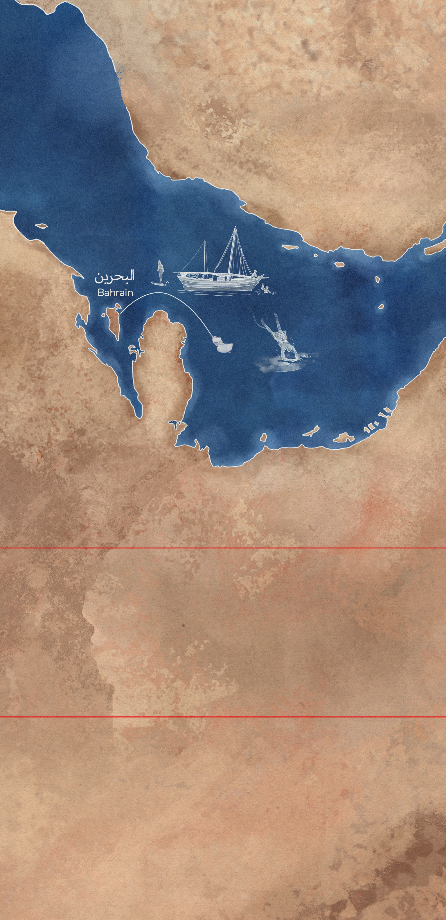
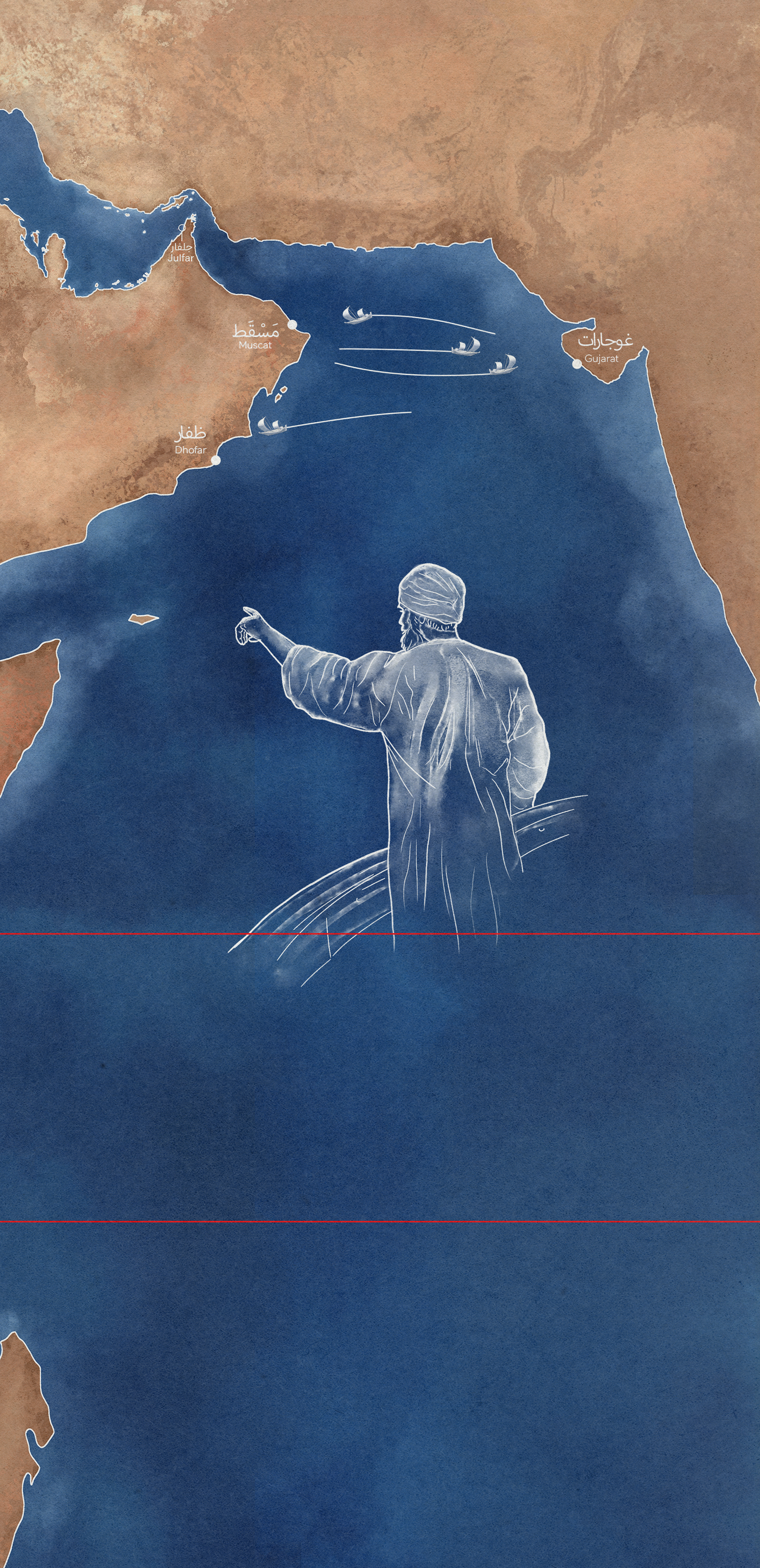
This exhibit introduces visitors to the trade routes used by merchants to import and export goods from the Arabian Gulf to the wider Western Indian Ocean. Presented through an animated map, the journey follows a vessel as it travels between key ports, guided by traditional navigation tools such as the kamal and compass. Through this experience, visitors discover the vast maritime networks of the 15th century, highlighting the legacy of Ibn Majid and the sophistication of navigation during this period.display type
LED Screen, Portrait
Physical size
1920x3960
display tech
Linear
length
3min, 30 seconds
Final deliverable (without audio or subtitles). Audio and subtitles are added by the Agency before uploading to site.

Some behind the scenes…

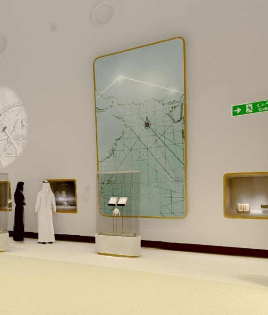

Some designs…